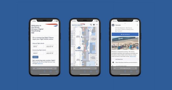
Houston’s George Bush Intercontinental Airport and William P. Hobby Airport are introducing a new way-finding application that will help passengers find their way around the airports.
Passengers can access the interactive map technology from any device or browser, whether the device is mobile, desktop or tablet.
The navigation tool shows passengers the easiest path from their start to end point.
Graphic and text directions are provided and each step of the path has turn-by-turn points listed, as well the estimated time it will take to walk to the destination.
The navigation also shows points of interest including gates, ground transportation, ticket kiosks, shops, restaurants, security checkpoints, and more.
Houston Airport System is working with San Francisco-based company LocusLabs to introduce the new service which is called Maps Online.
Kathleen Boyd, Head of Marketing for the Houston Airport System:
“For the Houston Airport System, the accessibility of this new technology is as exciting as being chosen as pilot airports for its launch. The fact that there is no app necessary — that travelers at our airports can use it simply by going to fly2houston.com on their smart device — offers another powerful and valuable tool to our customers, who already use our passenger journey-focused award-winning website to find a wide variety of information and services on a daily basis. It is another step towards meeting our strategic objective to “Make Our Passengers Happy.”
Maps Online will be launched on fly2houston.com this month.
N.B. Image credit:


