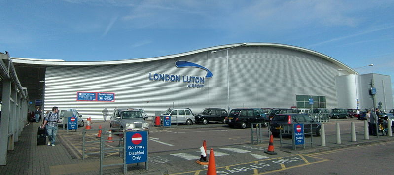
 A new aspect to passenger self-service has been introduced at London Luton Airport (LTN). Instead of asking directions or following often signs passengers can use Google Maps to navigate the airport.
London Luton Airport (LTN) is the first UK airport to benefit from this technology.
Google’s vision for maps has always been to provide Web users with as much information as possible so they can answer fundamental questions like, ‘Where am I?’ and ‘What’s around me?’ Google Maps already allows you to plan a route, get directions and explore many neighbourhoods with street-level imagery, while the ‘My location’ feature can show you where you are on a map to stop you getting lost.
When you’re inside a tourist attraction or retail store, a common way to figure out where you are is to look for a freestanding map directory with a ‘You Are Here’ sign, or ask an employee for help. But for a number of places in the UK, that directory is now brought to the palm of your hands, helping you determine where you are, what floor you’re on, and where to go – indoors – by using your smartphone.
Oliver Jaycock, London Luton Airport’s Marketing Manager said “Airports present a unique and inherently complex environment which passengers must navigate. The challenge for airports is making this process for passengers easy. Partnering with Google to map every square inch of London Luton Airport’s terminal building means passengers, for the first time at any UK airport can use Google’s indoor maps to guide their own way effortlessly through the terminal”.
Airports can be complex and confusing places, especially those with multiple terminals. So this facility can be of considerable use, perhaps mostly when using an airport for the first time.
Regular travellers though might suggest that airports could help passengers by using bigger and better signs and putting them in useful locations.