Nice Côte d’Azur airport is the first airport in France to bring detailed terminal maps to Apple Maps.
The new tool means that passengers can plan their time at the airport before they get there. They can seen in advance the shops, restaurants and other amenities and how to get to them.
Using Apple Maps on their iPhone or iPad, passengers can plan their journey through the airport in advance of their flight. They can find nearby restaurants, places to buy last minute sun cream and gifts before take-off as well as the important points of interest such as baggage claim, security checkpoints, customers, and restrooms.
Indoor positioning gives passengers an instant view of where they are within the terminal which helps them get to where they need to go next.
Dominique Thillaud, Chairman of the Board of Aéroports de la Côte d’Azur:
“We are not only proud to be the first airport in France to offer this live, multilingual geolocation solution to our passengers – we are also convinced that it is essential to provide an increasingly seamless and effortless digital experience for connected travellers who want it.”
The terminal maps will be updated regularly to ensure accuracy including when new stores and locations open.
Other airports recently added to Apple Maps are Fort Lauderdale-Hollywood International Airport (FLL), Newcastle International Airport (NCL) and Milano Linate Airport (LIN).
NICE Airport App
The maps are available in the airport’s app.
Other features in the app include:
- Flight tracking with notifications.
- Real-time car parking availability
- Book your parking space with Click & Park.
- Shopping deals
- Calculate how to get to the airport and view maps of the inside of the terminals.
- Access to the Club Airport Premier account
The airport has a new video with the app’s latest features.
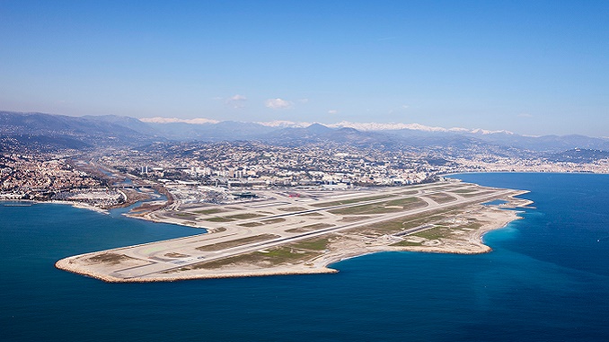
N.B. Image credit: Aéroports de la Côte d’Azur